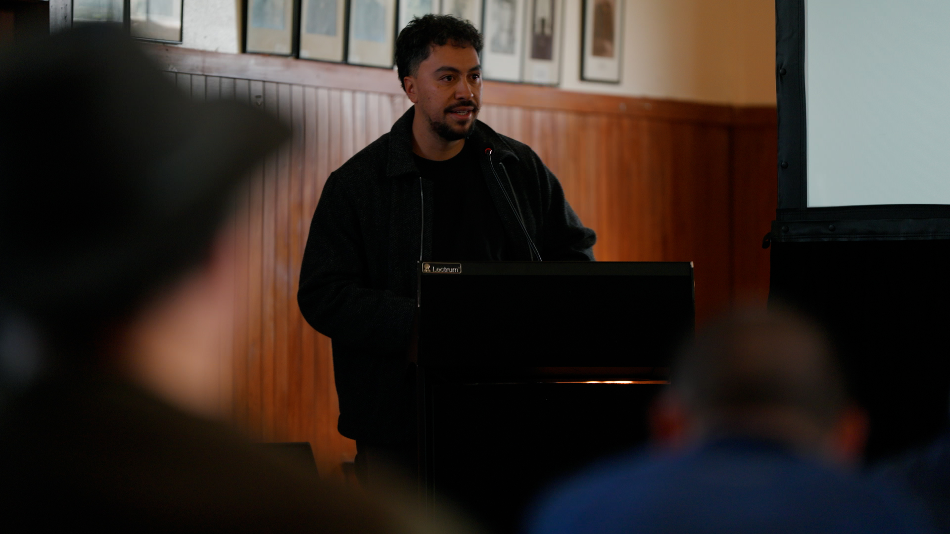
The Pūtōrino e Rua Wānanga 2026, held at Rātā Marae, delivered a knowledge based, hands-on, on-the-whenua forum, attended by the project research partners and local Rangitīkei communities. This wānanga, which showcased student research and concluded with a hīkoi to nearby sites of significance, officially wrapped up two years of research undertaken in, on, and around Hauiti whenua.
The project investigated the social and environmental impacts of a historical landslide at Pūtōrino that was thought to have been triggered by the 1855 Wairarapa earthquake. It aimed to extend the written records and histories surrounding the landslide to better inform future land use management and prepare climate resilient Rangitīkei communities.
Grant Huwyler, representing Te Waka Ururoa Research (the research centre for Te Rūnanga o Ngā Wairiki Ngāti Apa), opened the wānanga with karakia and acknowledged the value in the collaborative research which they jointly lead with Whakauae Research Services Ltd and Te Kunenga ki Pūrehuroa - Massey University.
Principal Investigator and Project Lead, Dr Callum Rees (Massey University) introduced the wānanga by outlining the various layers of whenua in the Pūtōrino area and illustrating the changes the landscape had undergone over time. A series of dated images showing the differences accompanied his kōrero. Callum also touched on some new knowledge discovered through tree-coring and dating techniques. It was discovered that far from one isolated event in 1855, the area had been subjected to a number of landslide events throughout a 100-year period. This discovery underscores the need for further research beyond 1855 to understand the geological changes that have occurred and continue to occur in this relatively young landscape.
Following his context-setting kōrero, three student researchers presented the results of their internships, each of which was aligned to the wider study. The internships were an important part of the overall project as they were designed to build future capacity and capability within the iwi. Internship recipients included two undergraduate students, Lisa Martin and Liam Barclay, as well as Luke Enoka, a researcher based at Whakauae Research Services Ltd, who has recently completed his masters degree.
Lisa presented her dendrochronology research on the Pūtōrino area where she worked alongside ecologist Dr Andrew Wells. Together they undertook a comprehensive survey of trees, coring and analysing the tree rings in the Pūtōrino area. Their analysis resulted in the reconstruction of a timeline of tree growth and related disturbances, such as flooding and landslides, which may have impacted this growth.
Liam spoke about the tribal history of the Pūtōrino area which he uncovered through transcribing evidence from the Native Land Court. This ambitious project led to the compilation of a rich body of kōrero tuku iho (traditional narratives) which has given context to the Pūtōrino landslide. Importantly, Liam was able to use the evidence given in the Courts to physically identify actual sites as they exist today.
Closing the morning, Luke gave a kōrero about waka traditions on the Rangitīkei River. He presented a small part of the extensive kōrero tuku iho he has amassed from kaumātua, coupled with evidence from transcripts recorded in Māori Land Court minute books from the late 1800’s. He spoke about waka related sites on the Rangatira land block (where Pūtōrino is located), poling tikanga and techniques, a local waka restoration project, and the role of waka for Ngāti Hauiti identity today.
The second part of the day focused on the practical aspects of the presentations, starting with a tree coring demonstration at a local Pā Tōtara (tōtara grove) by seasoned ecologist, Andrew Wells. Next, participants were guided on a short walk to the top of a nearby terrace which provided a panoramic view of several sites of significance to Ngāti Hauiti. The importance of these sites was outlined by tribal historian and Whakauae researcher/Pou Tikanga, Utiku Potaka. Utiku also recounted the pūrākau (traditional narrative) of Matangi and his journey of discovery while following Te Whirikōkō (flocks of plump tūī). Of particular interest was the site Matangi named Pūtōrino, where the landslide occurred. Finally, wānanga participants were accompanied to the site of a nearby traditional pātaka kai (food storehouse) and waka tīwai. Here, tohunga Warren Warbrick demonstrated aspects of traditional waka construction and spoke in depth of the use of waka prior to colonisation. Originally, the land on which these artefacts are sited was part of the Ngāti Hauiti Te Hou Hou settlement on the lower banks of the Rangitīkei River.
In closing, Callum reflected on the day’s activities, noting, “it’s one thing to read or talk about history and the land, but it’s helpful to actually get out there and do some hands-on things”.
While the wānanga marks the conclusion of the two-year research project, it has also raised other areas of interest and kaupapa for further research, in particular the process of waka preservation, traditional land use practices, and the mātauranga, kōrero, knowledge, and histories of Ngāti Hauiti more generally. The team involved in this small study is excited about the possibilities of working on these and other related kaupapa in the future.
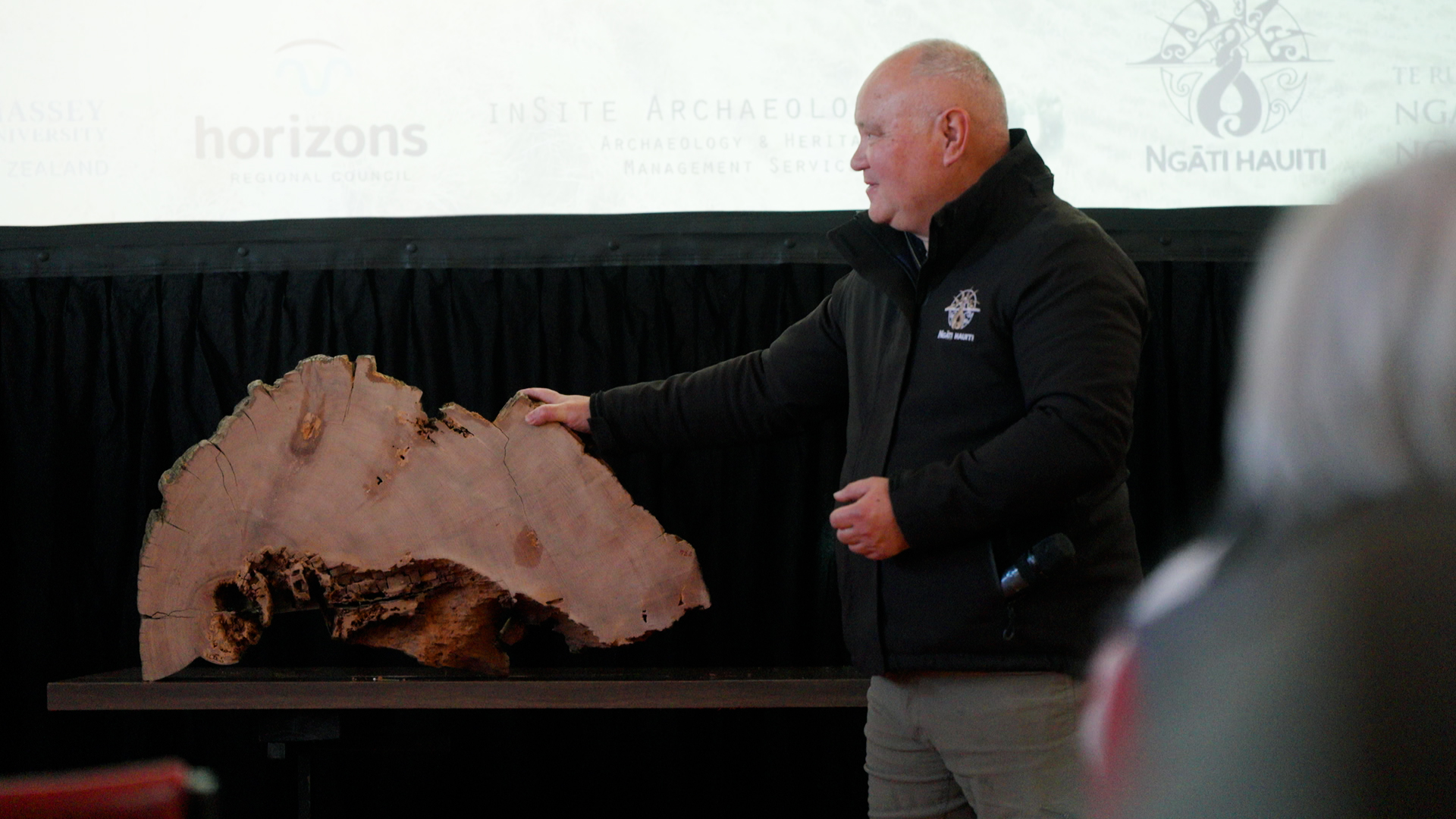
The Pūtōrino e Rua Wānanga 2026, held at Rātā Marae, delivered a knowledge based, hands-on, on-the-whenua forum, attended by the project research partners and local Rangitīkei communities. This wānanga, which showcased student research and concluded with a hīkoi to nearby sites of significance, officially wrapped up two years of research undertaken in, on, and around Hauiti whenua.
The project investigated the social and environmental impacts of a historical landslide at Pūtōrino that was thought to have been triggered by the 1855 Wairarapa earthquake. It aimed to extend the written records and histories surrounding the landslide to better inform future land use management and prepare climate resilient Rangitīkei communities.
Grant Huwyler, representing Te Waka Ururoa Research (the research centre for Te Rūnanga o Ngā Wairiki Ngāti Apa), opened the wānanga with karakia and acknowledged the value in the collaborative research which they jointly lead with Whakauae Research Services Ltd and Te Kunenga ki Pūrehuroa - Massey University.
Principal Investigator and Project Lead, Dr Callum Rees (Massey University) introduced the wānanga by outlining the various layers of whenua in the Pūtōrino area and illustrating the changes the landscape had undergone over time. A series of dated images showing the differences accompanied his kōrero. Callum also touched on some new knowledge discovered through tree-coring and dating techniques. It was discovered that far from one isolated event in 1855, the area had been subjected to a number of landslide events throughout a 100-year period. This discovery underscores the need for further research beyond 1855 to understand the geological changes that have occurred and continue to occur in this relatively young landscape.
Following his context-setting kōrero, three student researchers presented the results of their internships, each of which was aligned to the wider study. The internships were an important part of the overall project as they were designed to build future capacity and capability within the iwi. Internship recipients included two undergraduate students, Lisa Martin and Liam Barclay, as well as Luke Enoka, a researcher based at Whakauae Research Services Ltd, who has recently completed his masters degree.
Lisa presented her dendrochronology research on the Pūtōrino area where she worked alongside ecologist Dr Andrew Wells. Together they undertook a comprehensive survey of trees, coring and analysing the tree rings in the Pūtōrino area. Their analysis resulted in the reconstruction of a timeline of tree growth and related disturbances, such as flooding and landslides, which may have impacted this growth.
Liam spoke about the tribal history of the Pūtōrino area which he uncovered through transcribing evidence from the Native Land Court. This ambitious project led to the compilation of a rich body of kōrero tuku iho (traditional narratives) which has given context to the Pūtōrino landslide. Importantly, Liam was able to use the evidence given in the Courts to physically identify actual sites as they exist today.
Closing the morning, Luke gave a kōrero about waka traditions on the Rangitīkei River. He presented a small part of the extensive kōrero tuku iho he has amassed from kaumātua, coupled with evidence from transcripts recorded in Māori Land Court minute books from the late 1800’s. He spoke about waka related sites on the Rangatira land block (where Pūtōrino is located), poling tikanga and techniques, a local waka restoration project, and the role of waka for Ngāti Hauiti identity today.
The second part of the day focused on the practical aspects of the presentations, starting with a tree coring demonstration at a local Pā Tōtara (tōtara grove) by seasoned ecologist, Andrew Wells. Next, participants were guided on a short walk to the top of a nearby terrace which provided a panoramic view of several sites of significance to Ngāti Hauiti. The importance of these sites was outlined by tribal historian and Whakauae researcher/Pou Tikanga, Utiku Potaka. Utiku also recounted the pūrākau (traditional narrative) of Matangi and his journey of discovery while following Te Whirikōkō (flocks of plump tūī). Of particular interest was the site Matangi named Pūtōrino, where the landslide occurred. Finally, wānanga participants were accompanied to the site of a nearby traditional pātaka kai (food storehouse) and waka tīwai. Here, tohunga Warren Warbrick demonstrated aspects of traditional waka construction and spoke in depth of the use of waka prior to colonisation. Originally, the land on which these artefacts are sited was part of the Ngāti Hauiti Te Hou Hou settlement on the lower banks of the Rangitīkei River.
In closing, Callum reflected on the day’s activities, noting, “it’s one thing to read or talk about history and the land, but it’s helpful to actually get out there and do some hands-on things”.
While the wānanga marks the conclusion of the two-year research project, it has also raised other areas of interest and kaupapa for further research, in particular the process of waka preservation, traditional land use practices, and the mātauranga, kōrero, knowledge, and histories of Ngāti Hauiti more generally. The team involved in this small study is excited about the possibilities of working on these and other related kaupapa in the future.